The LiDAR (Light Detection and Ranging) market in the United States is experiencing robust growth, fueled by technological advancements and an increasing demand for high-precision geospatial data. As industries across the nation seek more accurate and efficient methods for mapping, monitoring, and navigating, LiDAR has emerged as a critical tool. From autonomous vehicles and smart city developments to precision agriculture and disaster management, LiDAR’s ability to provide high-resolution 3D imagery and real-time data is transforming multiple sectors. With innovations such as 4D LiDAR, the integration of LiDAR with UAVs, and the growing adoption of autonomous driving technologies, the market is poised to expand rapidly in the coming years, creating new opportunities and reshaping the future of infrastructure, environmental monitoring, and urban planning.
Key Drivers of LiDAR Market Growth in the US
1. Demand for 3D Imagery in Critical Applications
LiDAR technology is transforming industries that rely on high-precision data, such as transportation, agriculture, and infrastructure construction. The ability of LiDAR systems to create high-resolution 3D imagery is revolutionizing how industries collect and utilize geospatial data. For instance, in agriculture, LiDAR is used for precision farming by providing accurate mapping for soil health analysis, crop monitoring, and irrigation optimization. Similarly, in transportation, LiDAR helps develop digital elevation models for better road planning and maintenance.
2. Rise of Smart Cities and Infrastructure Development
With the ongoing development of smart cities, the need for detailed and accurate 3D mapping has never been more critical. LiDAR systems are central to this initiative as they enable cities to design, monitor, and manage urban infrastructure with unparalleled accuracy. From urban planning to disaster management, LiDAR’s ability to create detailed virtual models of cities is driving its adoption in various municipal and governmental projects.
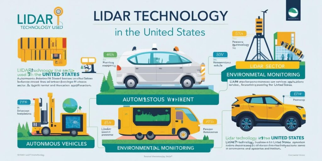
3. Adoption in Autonomous Vehicles
The growing deployment of LiDAR in autonomous vehicles (AVs) is one of the most significant trends in the industry. LiDAR sensors are critical for next-generation Advanced Driver Assistance Systems (ADAS), providing the data needed for navigation, safety, and environment detection. Companies like Velodyne LiDAR, Luminar Technologies, and Ouster are leading the charge in bringing LiDAR-based solutions to the automotive sector, improving the safety and operational efficiency of self-driving cars.
4. Emergence of 4D LiDAR
The introduction of 4D LiDAR — which integrates time as a fourth dimension — is poised to take LiDAR technology to the next level. This innovation is particularly useful in dynamic applications such as traffic monitoring, environmental changes, and disaster management, where real-time data and temporal insights can provide greater accuracy and decision-making capabilities.
5. UAVs and Drones
The incorporation of LiDAR with drones is one of the most exciting developments in the market. Drones equipped with LiDAR sensors offer an efficient and cost-effective way to collect high-quality geospatial data over large areas. This is especially valuable for applications such as environmental monitoring, agriculture, and corridor mapping. The rise of UAVs equipped with LiDAR systems is expected to fuel further market growth in the coming years.
Download PDF Brochure @ https://www.marketsandmarkets.com/pdfdownloadNew.asp?id=1261
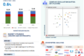
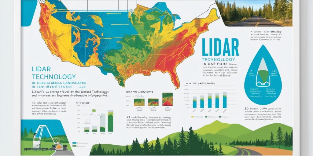
US LiDAR Market: Segment Analysis and Trends
Ground-Based LiDAR
The ground-based LiDAR segment is expected to hold the largest share of the US LiDAR market by 2029. Ground-based LiDAR systems are widely used across industries for applications like mapping, engineering, environmental monitoring, and meteorology. The technology works by measuring the time it takes for laser beams to travel between the source and the detector, creating highly detailed 3D point clouds that are crucial for accurate digital elevation modeling.
The versatility of ground-based LiDAR in industries such as urban planning, precision agriculture, and disaster relief is driving its continued adoption. With decreasing costs and advancements in accuracy, these systems are becoming more accessible, further expanding their use across various sectors.
Airborne LiDAR and Drones
While ground-based LiDAR remains dominant, the airborne LiDAR market is also expanding, thanks in large part to the growing adoption of drones. Drones equipped with LiDAR systems are able to capture high-resolution aerial data for a variety of uses, including environmental monitoring and corridor mapping. The ability to collect geospatial data remotely and with high efficiency is a major factor contributing to the growing popularity of airborne LiDAR in the US.
In particular, public and private organizations are leveraging LiDAR for large-scale mapping projects, with agencies like the United States Geological Survey (USGS) and NOAA providing valuable, open-source LiDAR data for research, environmental studies, and coastal community projects.
Government Support and Industry Investment
One of the key factors propelling the US LiDAR market forward is the strong backing from government bodies. Federal organizations like the Federal Aviation Administration (FAA) and National Oceanic and Atmospheric Administration (NOAA) are actively involved in setting standards for LiDAR applications. The 3D Elevation Program (3DEP), led by the USGS, aims to provide comprehensive elevation data across the country, further promoting the use of LiDAR in environmental and geospatial applications.
Government investments in infrastructure and disaster management are also creating a favorable environment for the adoption of LiDAR. For instance, LiDAR is increasingly being used to monitor flood zones, forest cover, and coastal erosion, helping mitigate the impact of natural disasters.
Simultaneously, private companies like Trimble, Leica Geosystems, and Teledyne Optech are investing heavily in research and development, creating more efficient, precise, and affordable LiDAR solutions for various industries. This combination of government support and private sector innovation is propelling the market toward substantial growth.
Leading Players and Competitive Landscape
The US LiDAR market is highly competitive, with several key players shaping the industry’s direction. Velodyne LiDAR, Luminar Technologies, and Trimble Inc. are among the major players leading in innovation and market share. These companies are at the forefront of developing cutting-edge LiDAR systems for a wide range of applications, including autonomous vehicles, geospatial mapping, and environmental monitoring.
Other notable players in the market include Leica Geosystems AG, Teledyne Optech, RIEGL Laser Measurement Systems, and Sick AG. These companies are continually advancing their product offerings and exploring new applications for LiDAR technology.
Market Outlook and Future Opportunities
The future of the LiDAR market in the US looks promising, with continued advancements in technology, increased adoption across industries, and strong government support paving the way for future growth. The adoption of LiDAR in UAVs, autonomous vehicles, and smart city projects will be critical drivers of this growth.
As technology becomes more affordable and accessible, LiDAR systems will become an essential tool for precision mapping, environmental monitoring, disaster management, and infrastructure development. The rise of 4D LiDAR and integration with AI for real-time analysis will further enhance the capabilities of LiDAR, opening new opportunities for industries and governments alike.
In conclusion, the US LiDAR market is on an exciting growth trajectory, driven by technological innovation, strong demand from various sectors, and supportive government initiatives. The next decade promises to bring even greater advancements and applications for LiDAR, solidifying its role as a cornerstone of next-generation mapping, monitoring, and autonomous systems.
The report profiles key players in the LiDAR market and analyzes their respective market rankings. Prominent players profiled in this report include Leica Geosystems AG (Sweden), Trimble Inc. (US), Teledyne Optech (Canada), FARO Technologies, Inc. (US), RIEGL Laser Measurement Systems GmbH (Austria), Sick AG (Germany), NV5 Geospatial (US), Beijing SureStar Technology Co. Ltd. (China), Ouster (Velodyne Lidar, Inc.) (US), YellowScan (France), Leishen Intelligent System Co., Ltd. (China), SABRE Advanced 3D Surveying Systems (Scotland), Hesai Technology (China), and RoboSense (China).